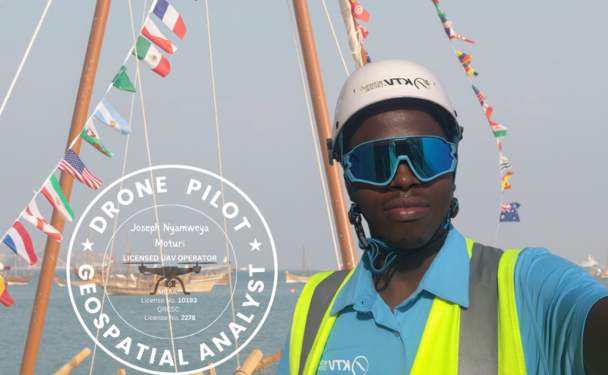
Drone Pilot • GIS Analyst • AI Enthusiast
"I fly, analyze and visualize"
In recent years, this professional journey has spanned a diverse range of organizations across the energy, technology, facility management and environmental sectors, each representing a unique chapter of growth and experience.


A Visual narrative of Platforms, Programming Languages and GIS Tools that shape my expertise


Curated to reflect my evolving interests and capabilities.
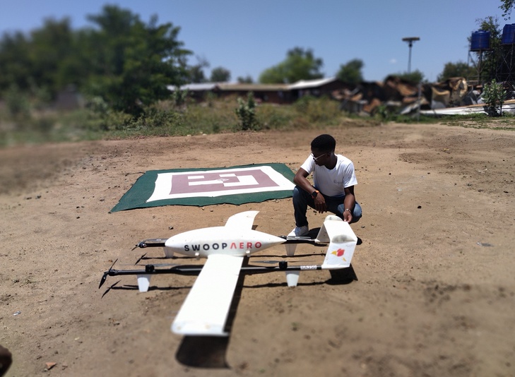
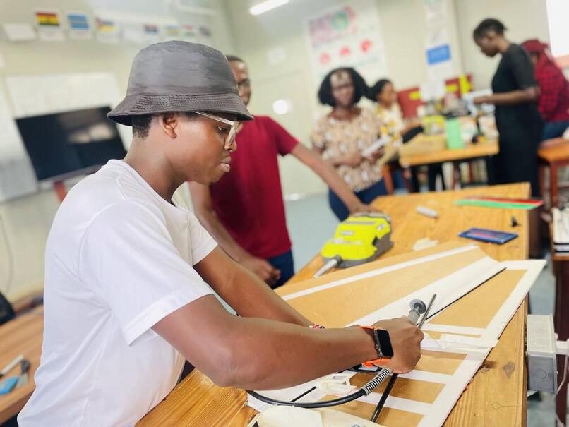
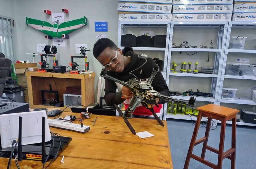
Certified UAV pilot with hands-on experience in aerial mapping and data workflows
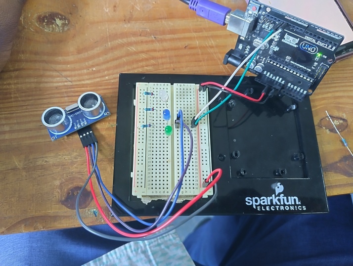
Programmed drones for industrial use cases, focusing on autonomy and sensor integration over the past two years.
Focused on front-end development for GIS dashboards and interactive web tools using HTML, CSS, and JavaScript.
Built Streamlit apps for geospatial data visualization and decision support — blending data science with intuitive design.
Applied machine learning to visual datasets for object detection and classification in remote sensing projects.
Participated in mentoring programmes for early career students and professionals in GIS and Remote Sensing open projects